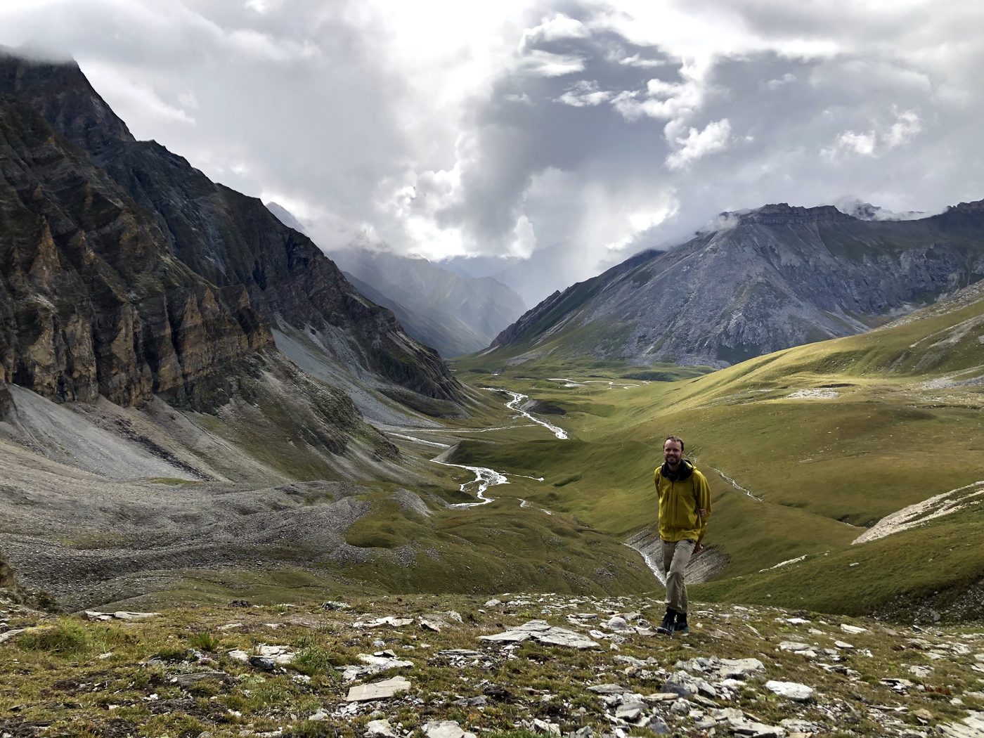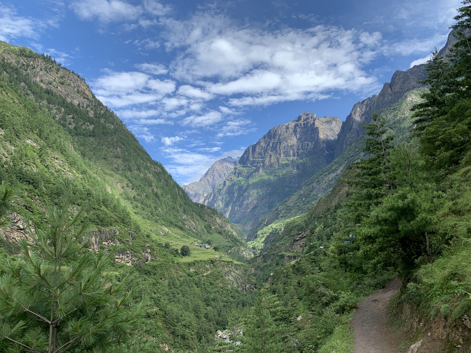
A trail along a green valley below high peaks in Nepal

Viatrail for creators

Build the route other hikers will walk.

Draw the network, record what is on the ground, and style the map. Then share it in an open format.

Photo by Dave Brophy

A long route is a network of choices. Viatrail keeps every variant, water source and camp in one place.

Route authors

You maintain a long-distance route, with its variants and its alternates.

Guidebook writers

You check every water source and hut, and the details change each season.

Guides and outfitters

You plan trips for groups, and you need every day to be right.

Trail clubs

You look after a network of paths, and you share it with your members.

Draw the network

A route is not one line. Draw the main route, its variants and the cross-country links between them.

Place points and Viatrail routes between them on trails, or across open ground where there is no trail. Every option stays part of one network.
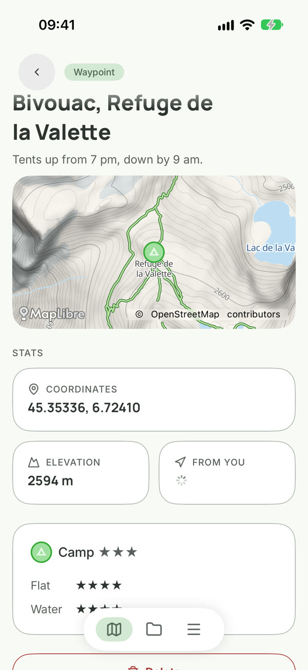
Recorded in the app · Vanoise, France

Start from what you have, and add what you know.

Bring in your GPX and KML files. KML import can keep the author's colours and folders. Then record the water, camps, huts and resupply, with ratings and notes.

A KML file keeps its colours and folders
A camp's data panel with a star rating and notes
Ratings and notes on every camp and water source
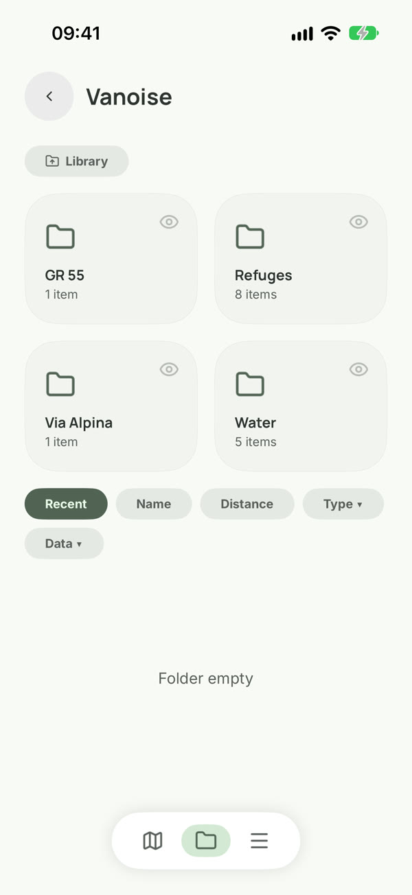
The library with a route's folders
Folders for everything, and hide what is not ready

Define your own data

Bring your own data types. A packrafting route can give every rapid a class.

Add your own fields to anything on the map. Share a type as a file, so a whole community can use it.

Recorded in the app

Style the map with rule sets

One rule restyles the whole map from your data.

Give every camp rated 4 or more a card with its name and stars, and draw class IV rapids in red. A rule can change an icon, a colour, a line width, or show a card.

Recorded in the app

Your data stays yours

Export everything, in an open format.

VNX is Viatrail's open format. It keeps everything you made: the network, the data, your data types and your rule sets. You can also export GPX, KML, KMZ and GeoJSON. Those formats drop what they cannot hold.

  • VNX
  • GPX
  • KML
  • KMZ
  • GeoJSON
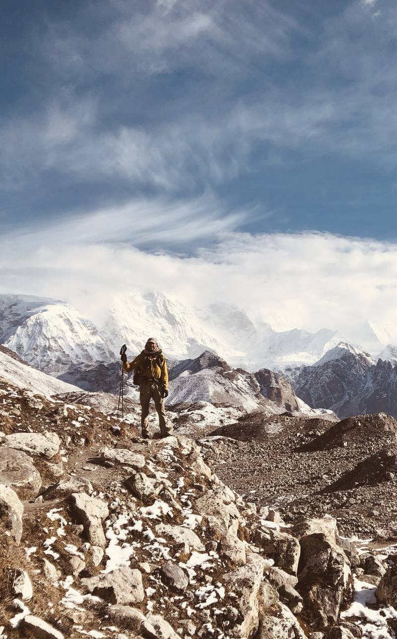
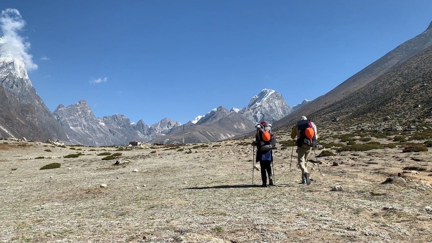
A hiker on a rocky moraine below a wall of snow peaks on the Great Himalaya Trail

Made by a route planner

For ten years, on almost every step, I was planning this app. Viatrail is the tool I wanted out there.

Dave Brophy, founder

  • Great Himalaya Trail
  • Greater Patagonia Trail
  • Pakistan
  • China
  • Across Europe

The creator beta is open to invited testers.

Tell us about the route you work on. We send invites in small groups, on iPhone and Android.

We use your email only to send beta invites and news about Viatrail. Privacy